View weather and climate conditions this week in Wisconsin
Here are this week’s take home points about the weather, scroll down for the full report:
Current Conditions
- The wet November that we have been experiencing continued last week with 1-2” of rain falling across most of central and southern WI.
- Temperatures have continued to be unseasonably warm, but weekly maximums last week failed to top 60°F.
Impact
•A large portion of WI is in near-normal soil moisture percentiles thanks to rainfall over the past 30 days.
•However, SE WI was added to D2 drought coverage on the latest USDM map.
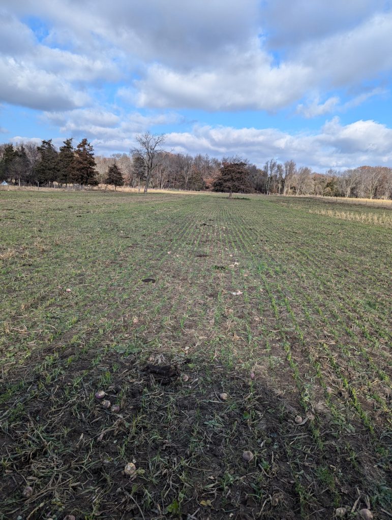
•Corn harvest, soybean harvest, and winter wheat emergence are complete or very near completion in WI.
Outlook
•Best chance for precip exist in the eastern and northern counties, with the potential for accumulating snow on Thursday.
•A drop in temperatures is looking more likely as we wrap up November & transition to December, with a lean toward above-normal precip during the same period.
•Late fall into early 2025 is more uncertain for temperatures and precip.
•La Niña is favored to be in place by September-November (according to the CPC); less of a chance for having a colder-than-normal winter.
What does this mean for you? Here are some things to consider for your farm this week:
Crop Development
•Soil is wet in many places, avoid working in wet fields when possible to reduce compaction issues.
•Look for areas where erosion may have occurred during the recent rains. Read more here
•When making nutrient management decisions for next season, check out the new edition of Fast Facts from the Nutrient & Pest Management Team
Manure Applications
•Runoff risk is low throughout the state in the next week. Be mindful of the possibility of runoff and plan manure applications accordingly. Check the DATCP runoff risk advisory forecast here.
•Consider the relationship between manure and cover crops, learn more here.


